Days
15 Days
Arrival City
Kathmandu
Departure City
Kathmandu
Best Season
September–December · February–May
Max Altitude
5,190m
Accommodation
Hotel in Kathmandu, teahouse/lodge during the trek
Transportation
Private Tourist Vehicle
Difficulty
Challenging
Group Size
2 - 16+
Manaslu (8,163 m) is the eight highest mountain in the world. It is also one of the most difficult to scale, thus getting the notorious nickname - Killer Mountain. It is one of the most beautiful Himalayan peaks. The trek around Manaslu provides an experience of a lifetime.
Manaslu is also one of the lesser traveled trekking routes. It attracts far less trekkers compared to Everest Trek and Annapurna Trek.
Trekking in the region was opened in 1992. Most part of the trek lies in conserved area and you will need to take permission from the government before starting your trek.
We will start our trek from Soti Khola in Gorkha district. We will drive to Soti Khola from Kathmandu. If it’s rainy then the way to Soti Khola will be inaccessible for vehicles. We will thus have to start our trek from Arughat, which will add one extra day to our itinerary.
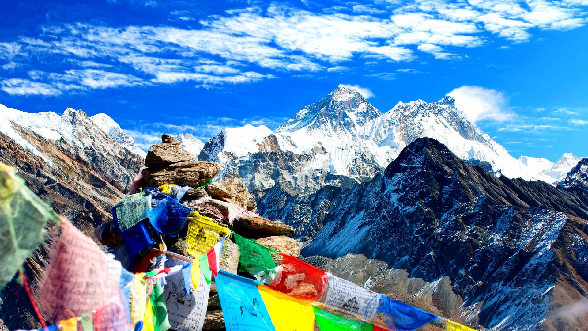
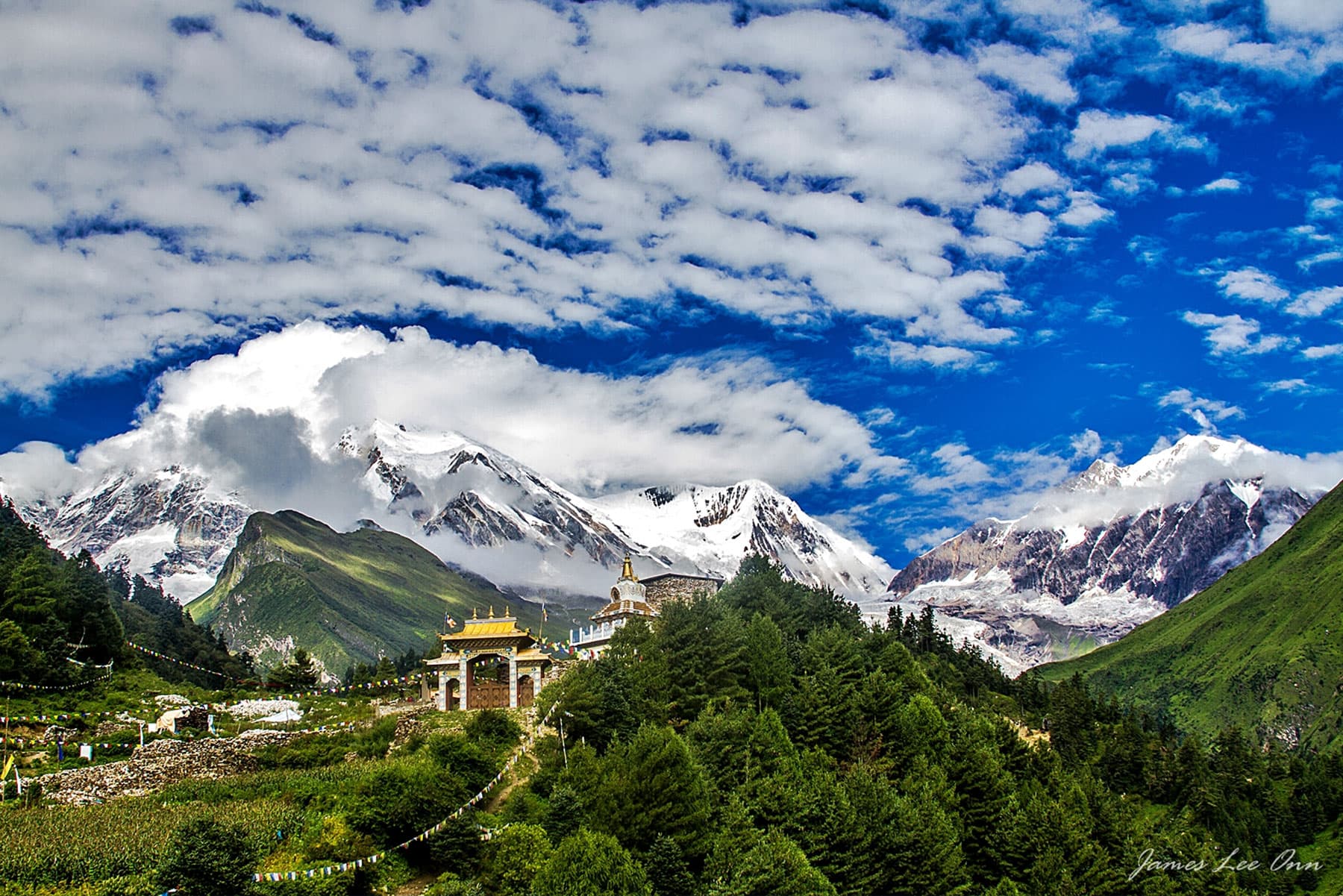
Beautiful villages of the Gurung and Ghale people lies on our trekking route. Monasteries and prayer flags create a mystic atmosphere during your stay in the villages. The travel to Larkya La (Pass) at 5,420 m is a thrilling experience. The all round view of the mountains is spectacular from Larkya La.
Kathmandu → Soti Khola → Machha Khola → Jagat → Deng → Namrung → Samagaon → Samdo → Dharamsala → Larkya La Pass → Bhimtang → Tilje → Chyamje → Besisahar → Kathmandu.
Arrival in Kathmandu Tribhuvan International Airport and you will be met at the airport by our representative who will transfer you to Hotel by private tourist vehicle. Welcome drink and after you settle into the hotel there will be a group briefing with your tour leader. He will discuss the trek details and co-ordinate any last minute arrangements. Stay overnight at Hote
We have a long day’s drive ahead so we will start early. The first part of the drive, up to Dhading Besi – the district headquarter of Dhading, is on a black topped road but the drive from Dhading Besi to Arughat Bazaar is on off-road. Arughat Bazaar is an old trading outpost in the region. If the weather is bad we might need to start our trek from here. If it’s not rainy then we can drive up to Soti Khola. We will enjoy the view of typical Nepali countryside throughout our journey. We will rest in Soti Khola overnight.
We will be trekking to Machha Khola today. We will mostly walk on the banks of the Budhi Gandaki river during today’s trek. Difficult and narrow ridges above the river constitute our trekking trails for the first few hours. We will reach a place called Khursane after a difficult up and down walk in the early part of the morning. We will enjoy the view of two beautiful waterfalls near Khursane. We will then enter deep Sal forests that are full of chirping birds and wild animals. The Gurung village of Lapu Besi lies on our road. We will reach Machha Khola after 6-7 hours of trek.
Our target for today’s trek is Jagat. We will first encounter Khorla Besi, a small typical Gurung village. We will cross a river named Thado Khola before reaching Khorla Besi. Thado Khola means steep river in Nepali. There is a natural hot spring, Tatopani, ahead of Khorla Besi. We will enjoy the hot spring for a while and then trek further to cross another river named Yaru Khola. We will then reach a place called Thado Bhanjyang. We will once again need to cross the Budhi Gandaki river as we move ahead from Thado Bhanjyang. We will walk along its shores before reaching the beautiful village of Jagat in the evening.
We will be trekking to Deng today. The first part of the trek will see us climbing a rocky ridge to reach Salleri. We will then descend to a place called Sirdibas from Salleri. The small trail to Sirdibas keeps getting larger and widens into a valley as we reach Ghatta Khola. There are numerous waterfalls on the road ahead. We will encounter Phillim, a large village of the Gurung people, on our way. The road is full of streams that flows into the Budhi Gandaki river. We will reach Deng after crossing a gorge made by the Budhi Gandaki river. Deng is a small Gurung village.
We will trek to Namrung today. We will first reach the Rana hilltop. We will then go slowly down and walk along the Budhi Gandaki valley. We will cross the river on many occasions and reach Namrung after a walk of 6-7 hours. We will go to Namrung via a village named Prok. Prok offers stunning view of the Siringi mountains. Namrung is a Buddhist village. There are many shrines and Gumbas on the road leading to Namrung. Prayer flags and chants welcome you to Namrung village, where you will stay overnight.
We will wake up early and enjoy the beautiful view of the Siringi, Ganesh and Himchuli mountains. We will resume our trek after breakfast. Our target for today is Samagaon. We will cross the Rupinala pass, from where we will enjoy the wonderful view of Manaslu, Gorkha, Saula and Lajing mountains. We will walk past Sama village, which houses the Ribung Monastery. Before reaching Sama village, we will reach a village named Shyala. Shyala is also a great mountain watching point as it offers stunning sights of the Ganesh, Himchuli, Ngadi (Peak 29) and Manaslu peaks. We will walk along the Budhi Gandaki river and reach Samagaon in the evening.
Today is a day reserved for rest and acclimatization. We will explore Samagaon and its rich Sherpa culture. People practice Buddhism and there are many monasteries and shrines in the village, including the famous Pungyen Gompa. The monastery is named after mount Manaslu. Pungyen means bracelet in the language of the locals and describes the shape of Manaslu and surrounding peaks. The shrine offers splendid view of the Manaslu glacier. It is believed by the locals that the monastery holds supernatural powers and it is that power which prevented the first few attempts to scale the mountain peak in the 1950s.
We will trek to the village of Samdo today. Samdo village lies just four kilometers from the northern border of Nepal and Tibet. We will meet the Budhi Gandaki river again. We will meet a divergence as we move ahead. The road to the left leads to the Manaslu Base Camp whereas the road to the right leads to the Larkya La Pass. We will take the one on the right. The vegetation starts to change from sub tropical to alpine. Samdo village provides wonderful view of the Samdo, Manaslu, Nagdi Chuli (Peak 29) and the Simang mountains.
We will begin a short but strenuous hike to Dharmasala today. We will first cross two little streams on our way. We will see Larkya glacier from a close by range throughout our journey. We will walk through the valley of river Salka and reach a small stone inn at the end of our journey. The inn is at the base of the Larkya La Pass. Dharmasala means inn in Nepali and hence the name of the place. The Larkya Phedi or the base of the Larkya La Pass is at a distance of about four hours from Samdo. We will spend the night at the inn.
We will go to the main attraction of our trek today – the Larkya La Pass. We cross Larkya La glacier via its moraines. We will get a stunning view of Larkya Pass and Cho Danda while walking on the glacier. We will first walk on almost level ground and then climb steeply in the last part to reach Larkya La Pass, which provides a wonderful view of Mount Mansalu, Ratna Chuli, Cheo Himal and Annapurna II among others. The trek to Bhimtang from Larkya La will pass through highland meadows and grazing pastures.
We will wake up early and enjoy the beautiful panoramic view of the mountains from Bhimtang. The mountains on view include the Manaslu, Lamjung, Himlung and Cheo peaks. We will begin the trek to Tilje after breakfast. The grazing pasture of Sangure Kharka lies on our way. The way mostly passes through Rhododendron forests after Sangure Kharka. We will cross the beautiful Dudh Koshi river after walking for a short while from Sangure Kharka. We will rest for a short while at the village of Gho before continuing our journey to Tilje. There are good lodges for overnight stay in Tilije and we will rest in one of these.
Today is the last day of our trek. We will leave behind the village of Tilije and aim for Chyamje. Immediately after we leave Tilje, we will cross the Dudh Koshi River via a suspension bridge. We will keep climbing steeply upward until we reach Thonje. The uphill road to Thonje is full of Mani walls and prayer flags. We will continue our journey and cross the Marsyangdi River as we move ahead. We will meet trekkers on the Annapurna Circuit route when we reach a place called Dharapani. We will keep walking further until we reach Chyamje, where we rest overnight. The last part of the trek passes through green subtropical forests.
We will board on a vehicle waiting for us at Chyamje and head for Kathmandu after breakfast. We will first reach Besisahar, the district headquarter of Lamjung. The road follows the Marsyangdi river – which is a glacial melt. The section of road between Chyamje and Besishar is somewhat rough. The road is black topped and comfortable from Besisahar to Kathmandu. We will pass through green hills, swirling rivers and typical Nepali village on our way to Kathmandu. Evening farewell dinner in Kathmandu at a cultural restaurant
A small farewell ceremony before transfer to Tribhuvan International Airport.
This trip runs on a customizable, on-request basis — choose your own start date and we'll build the group and logistics around it.
Kathmandu → Soti Khola → Machha Khola → Jagat → Deng → Namrung → Samagaon → Samdo → Dharamsala → Larkya La Pass → Bhimtang → Tilje → Chyamje → Besisahar → Kathmandu.
Every itinerary can be adjusted for extra acclimatization days, private departures, or combining with another region. Mention it in your enquiry and we'll rework the day-by-day plan accordingly.
Replies within 24 hours · No spam, ever