Days
20 Days
Arrival City
Kathmandu
Departure City
Kathmandu
Best Season
September–December · March–May
Max Altitude
5,360m
Walking Distance
432 km
Accommodation
3-star hotel in Kathmandu and Pokhara, tent/lodge/teahouse on the trek
Transportation
Private vehicle/domestic flight
Difficulty
Strenuous
Group Size
2 - 16
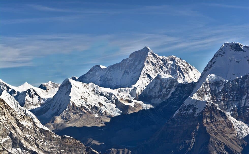
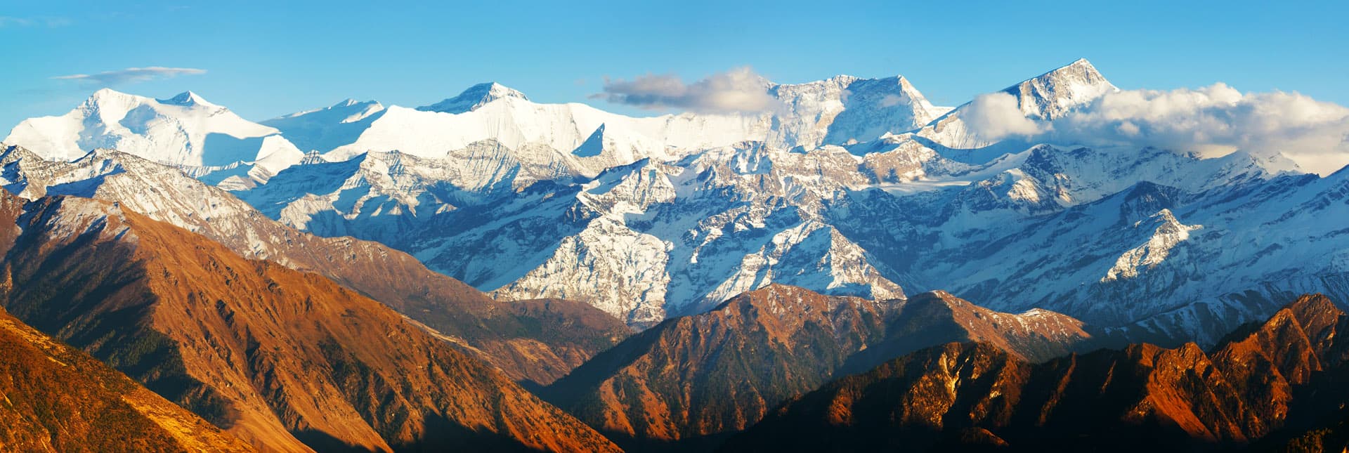
Also called the Dhaulagiri Round, this is one of Nepal's hardest camping treks, crossing French Col (5,360m) and Dhampus Pass (5,240m) — both above 5,000m — around the world's seventh-highest mountain. The route runs from Darbang through Gurung and Magar villages up the Myagdi Khola valley to Italian Base Camp, across the Chonbarden glacier to Dhaulagiri Base Camp (4,700m), then over French Col into the barren, rain-shadowed Hidden Valley before descending via Dhampus Pass to Jomsom.
Kathmandu → Pokhara → Darbang → Muri → Boghara → Italian Base Camp → Dhaulagiri Base Camp → French Col → Hidden Valley → Dhampus Pass → Jomsom → Pokhara → Kathmandu.
A representative meets you at the airport and transfers you to your hotel.
A 6–7 hour drive along the Trishuli and Marshyangdi valleys to Nepal's lake city.
A drive via Beni to Darbang to meet the trek crew, then a climb into Gurung and Chhetri country with first views of the Dhaulagiri massif.
Through the terraced-field villages of Takum and Sibang, with views of Gurja Himal and Puta Hiunchuli, to the Magar village of Muri.
Down to the Muri Khola, then through bamboo stands and a steepening valley to camp at Boghara's primary school grounds.
Along the west bank of the Myagdi Khola through sub-tropical forest, with a lunch stop at Lipshe, to a forest clearing at Dobang.
Through fern, bamboo and rhododendron forest, crossing to the east bank of the Myagdi Khola, to a forest campsite at Sallaghari.
Above the treeline through heather and juniper to a moraine campsite below Dhaulagiri's west face, with Tsaurabong Peak visible across the valley.
A rest day with a short exploratory walk around camp to aid acclimatization.
A steep moraine descent onto the glacier, crossing the narrow Chonbarden gorge, to tent ledges cut into the ice at Glacier Camp.
A morning walk up-glacier toward a moraine ridge with views of Tukuche Peak, then rest to adjust to altitude.
Along the moraine-covered glacier to Base Camp, with views of Dhaulagiri I, Tukuche Peak and Little Eiger, often alongside climbing expeditions in season.
A second rest day at Base Camp, with optional mountaineering skills practice with ice axe and crampons ahead of the high passes.
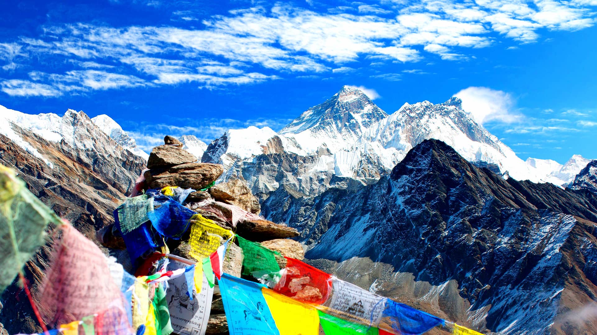
A moraine-ridge ascent to French Col (5,360m), marked by prayer flags with views to the Mukut Himal and Tukuche Peak, then a long snow descent into the sparse, rain-shadowed Hidden Valley.
A choice between day walks around Hidden Valley with panoramic views of the Dhaulagiri and Annapurna ranges, or an optional guided ascent of Dhampus Peak (6,012m) for climbers with mountaineering experience.
The toughest day of the trek: a snow-slope climb to Dhampus Pass (5,240m) between Dhampus Peak and Tukuche Peak, a long traverse, and a steep descent to Alu Bari.
A long descent via the apple-orchard village of Marpha in the Kali Gandaki valley to Jomsom.
An approximately 8-hour drive from Jomsom via Beni back to Pokhara.
A roughly 6-hour drive back to Kathmandu via the Prithvi Highway.
Transfer to Tribhuvan International Airport roughly three hours before your onward flight.
This trip runs on a customizable, on-request basis — choose your own start date and we'll build the group and logistics around it.
Kathmandu → Pokhara → Darbang → Muri → Boghara → Italian Base Camp → Dhaulagiri Base Camp → French Col → Hidden Valley → Dhampus Pass → Jomsom → Pokhara → Kathmandu.
Every itinerary can be adjusted for extra acclimatization days, private departures, or combining with another region. Mention it in your enquiry and we'll rework the day-by-day plan accordingly.
Replies within 24 hours · No spam, ever